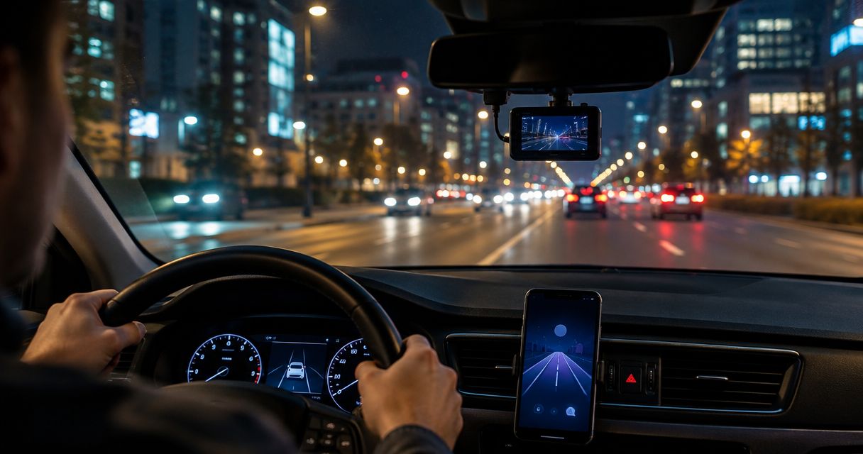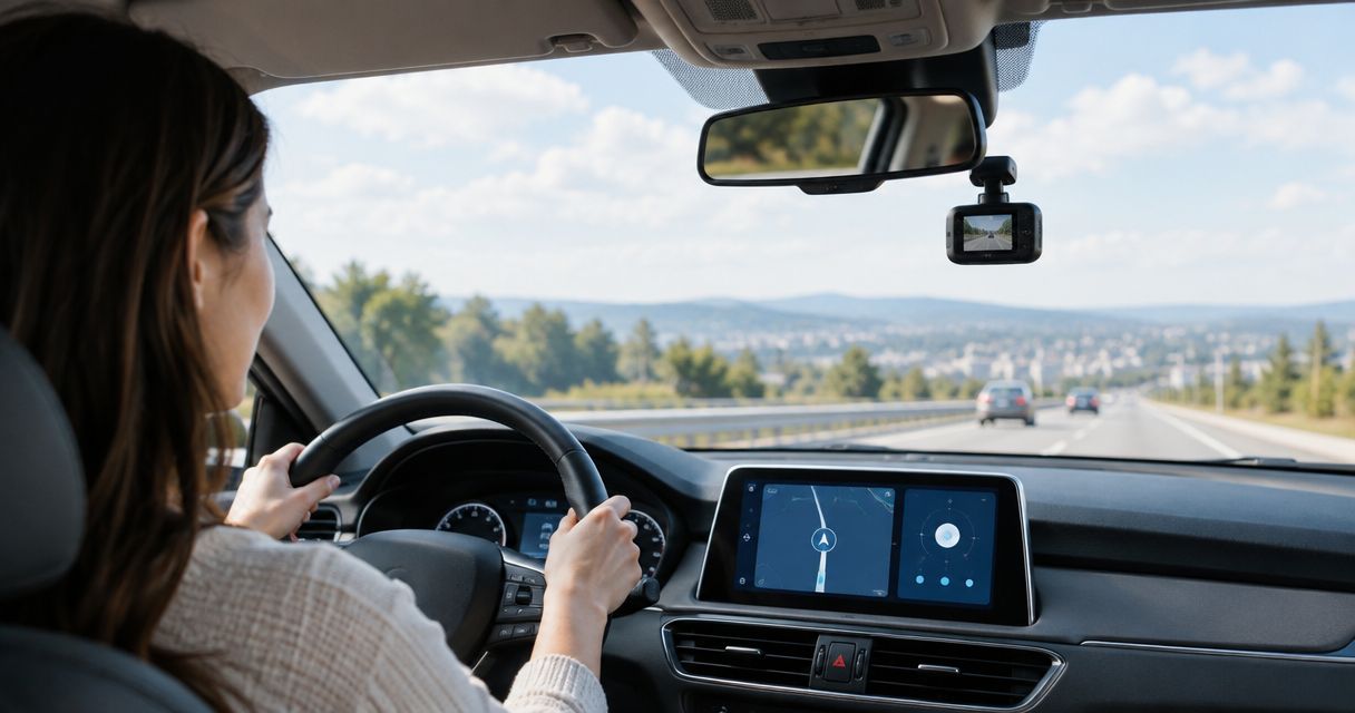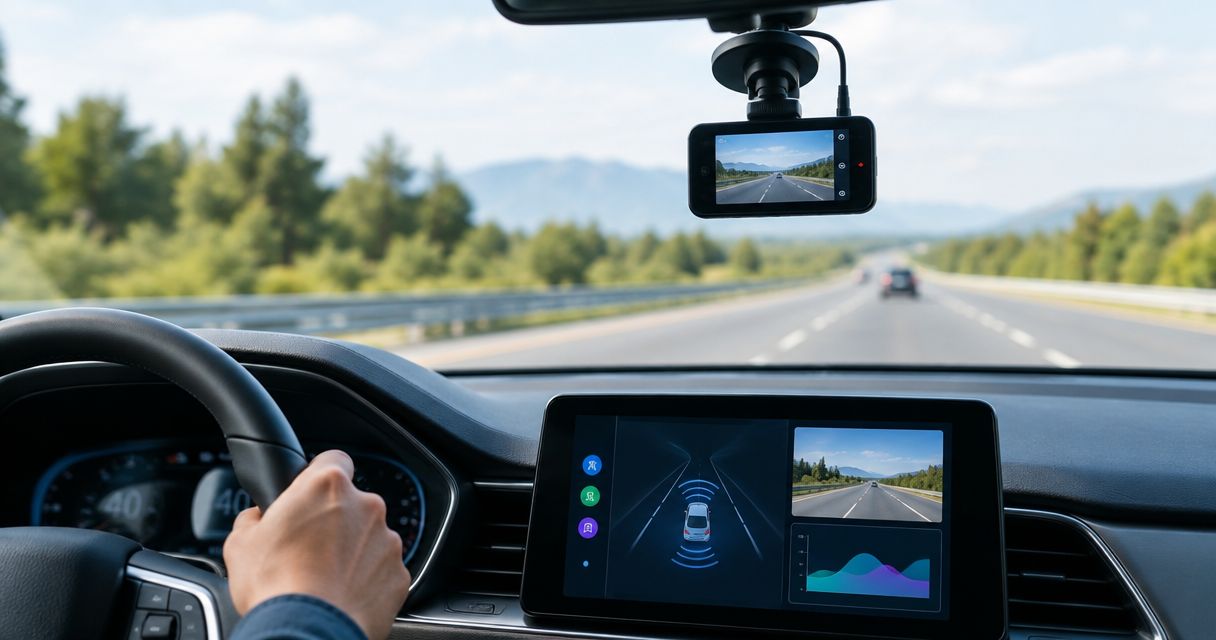
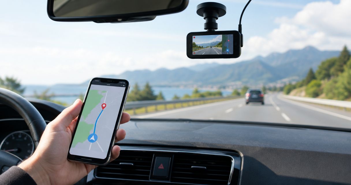
Best for route-linked recording: DailyRoads Voyager. Best for visible GPS details: Droid Dashcam. Best for alerts-focused Android driving: DriveSight. This 2026 guide separates GPS evidence from camera alerts so you can choose an app for the job you actually need.
- DailyRoads Voyager leads these best dash cam apps with GPS tracking for route-linked video recording.
- Droid Dashcam suits drivers who want GPS coordinates and speed visible on recorded footage.
- DriveSight offers object detection, crash detection, parking mode, and live police and speed camera alerts.
- Choose recorded location evidence separately from navigation, camera alerts, and live vehicle tracking.
Why this matters
GPS tracking can mean several different things in a dash cam app: coordinates written onto video, location stored alongside a recording, or a route you can review afterward. Those are not interchangeable. A camera alert tells you about a location ahead; it does not establish where your saved footage was recorded.
For everyday US drivers, Phonedashcam offers DriveSight, an Android dash cam app with object detection, parking mode, crash detection, and live police and speed camera alerts. DriveSight is the alerts-focused Android option; recorded GPS evidence needs its own selection check.
Your decision should start with the saved file, not the dashboard you see while driving. A useful recording preserves the details you need after the journey ends, when you are no longer looking at the app.
What makes the best dash cam apps with GPS tracking?
Use these criteria before choosing a 2026 app. They distinguish a recorder with useful location evidence from an app that merely displays your current position.
- Recorded location: Check whether coordinates survive in the video, an accompanying file, or the app's recording history.
- Time alignment: Location and video should refer to the same moment. A route without a clear connection to the clip is harder to interpret.
- Readable evidence: Inspect the exported footage, not just the preview. Coordinates, timestamps, and speed need to remain understandable.
- Recording continuity: Check what happens when navigation speaks, a notification appears, or the phone changes orientation.
- File control: Confirm how you preserve an incident and retrieve its location information before routine recording replaces it.
- Driving fit: Match the app to your priority: reviewing a journey, displaying coordinates, or receiving driving alerts.
The deciding question is simple: Can you recover the location of the event from the recording you actually keep? A moving map during the drive is not enough.
Dash cam apps with GPS tracking at a glance
| App | Best for | Standout capability | Key limitation |
|---|---|---|---|
| DailyRoads Voyager | Route-linked recording | Video recording with GPS location information | You must check how location appears in your exported evidence |
| Droid Dashcam | Visible GPS details | GPS coordinates and speed overlays on recordings | An overlay is not the same as a shareable route history |
| DriveSight | Alerts-focused Android driving | Object detection, parking mode, crash detection, and live camera alerts | Camera alerts do not establish recorded GPS tracking |
The order reflects the query: GPS evidence comes first. DriveSight has a different role in this shortlist because its stated capabilities focus on driving awareness and incident-related features, rather than a confirmed GPS-export workflow.
1. DailyRoads Voyager: best for route-linked recording
DailyRoads Voyager is an Android dash cam app that records driving video with GPS information. It is the first app to examine when your main question is where a recorded event happened, rather than which alert appeared before it.
The important distinction is location attached to a recording. Your selection check should follow that information from capture through playback and export, because an app's internal recording history and the file you share are different viewing environments.
DailyRoads Voyager pros:
- Combines road recording with GPS location information.
- Fits a location-first selection process rather than an alerts-first one.
- Gives you a relevant starting point for reviewing footage alongside journey context.
DailyRoads Voyager cons:
- Location visible inside the app does not automatically mean the same information travels with every export.
- Phone positioning, power, and temperature still affect the recording setup.
- A recording with GPS information is not automatically a live vehicle-tracking service.
Check the evidence, not just the map
For your 2026 setup, save a short recording and open it outside DailyRoads Voyager. Look for the timestamp and location details you expect to retain. If those details live separately, work out how you will preserve that companion information with the video.
Do not wait until an incident to learn this workflow. A clip that looks complete inside an app can become less informative once you send only the video file to someone else.
Best for: Android drivers whose first priority is connecting road footage to recorded location.
Verdict: Buy into this approach if route-linked evidence is your priority; confirm the export workflow before relying on it.
2. Droid Dashcam: best for visible GPS details
Droid Dashcam is an Android recording app with overlays for GPS coordinates and speed. That makes it a useful candidate when you want location details visible on the footage itself, rather than requiring the recipient to interpret a separate route view.
A visible overlay has a practical advantage: you can inspect the displayed details while watching the event. The trade-off is equally clear. Text on a video is not a substitute for a searchable journey record.
Droid Dashcam pros:
- Places GPS coordinates and speed information on recorded footage.
- Suits clip-by-clip review where visible location context matters.
- Makes the overlay itself straightforward to inspect during a setup test.
Droid Dashcam cons:
- Coordinates on a clip do not provide the same experience as reviewing a complete route.
- Small overlay text can be difficult to read after cropping or recompression.
- GPS-derived speed is context, not a guarantee of measurement accuracy.
Keep the overlay useful
Check the exported video at its normal viewing size. An overlay that looks clear on your mounted phone needs to remain readable when another person opens the file.
Preserve the original recording before making a cropped or shortened version. Cropping can remove coordinates, timestamps, or road context; recompression can make small text harder to interpret. Keep edits separate from the original evidence.
For a 2026 shortlist centered on self-contained clips, Droid Dashcam deserves attention before apps whose main appeal is navigation or alerts. Its use-case slot is visible GPS detail, not live tracking or incident prevention.
Best for: Android drivers who want coordinates and speed displayed on individual recordings.
Verdict: Buy into this approach for visible GPS context; skip it as a substitute for a route-history requirement.
3. DriveSight: best for alerts-focused Android driving
DriveSight is the Android dash cam app offered by Phonedashcam for everyday US drivers. Its stated capabilities include object detection, parking mode, crash detection, and live police and speed camera alerts.
Those features answer a different question from GPS export: what information can support your driving and incident-related recording needs? DriveSight is the Phonedashcam dash cam app for Android drivers who prioritize detection and live camera alerts.
DriveSight pros:
- Offers object detection alongside its dash cam function.
- Includes crash detection for an incident-focused use case.
- Offers parking mode as well as driving-related features.
- Includes live police and speed camera alerts.
DriveSight cons:
- Its Android positioning does not make it an iPhone recommendation.
- Live camera alerts are not evidence of a saved GPS route.
- Parking mode requires a separate practical check of your phone, power arrangement, and coverage needs.
Choose DriveSight for the right reason
Put DriveSight on your 2026 shortlist when alerts, object detection, crash detection, or parking mode drive the decision. If you specifically need coordinates embedded in saved footage or an exportable journey history, establish that workflow before selecting it for GPS tracking.
Keep the requirements separate. An app can suit your driving-awareness needs without being the right choice for your preferred form of location evidence.
Phonedashcam's dash cam app belongs in an alerts-focused comparison, not at the top of a GPS-recording ranking solely because it knows about camera locations. That distinction keeps your purchase decision tied to the output you need.
Best for: Everyday US Android drivers prioritizing detection, parking mode, crash detection, and live camera alerts.
Verdict: Hold for a GPS-first decision until your required recording and export workflow is confirmed; choose it for the stated alert-focused use case.
How to check GPS recording before you rely on it
Run this check while parked and during a safe test journey. Configure the phone before moving, and review the results after stopping. No recording feature justifies handling the phone while driving.
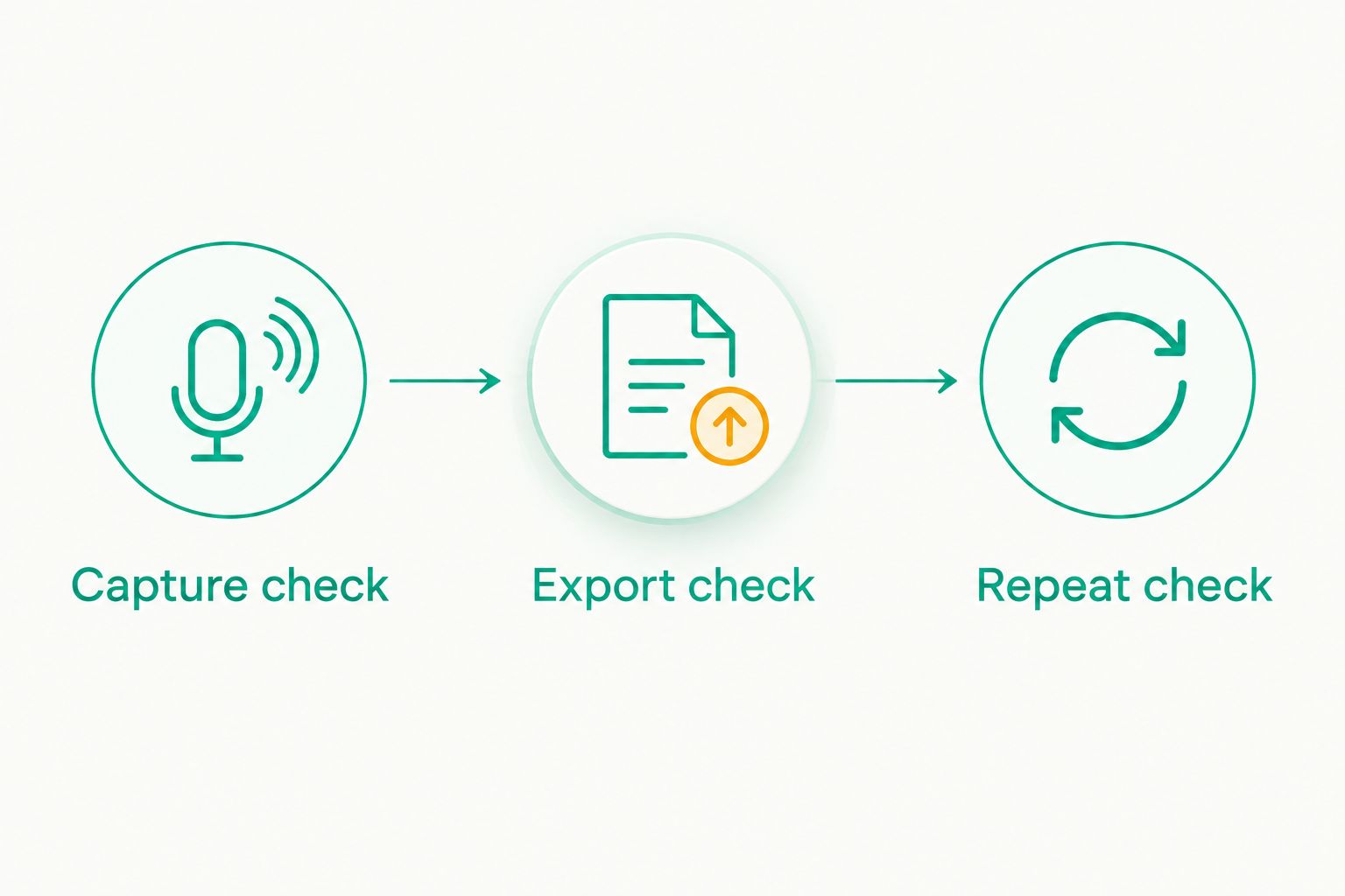
Capture check
Record a 1-minute test clip from your normal mounting position. Check the road view, timestamp, and any displayed coordinates. A correct GPS reading does not compensate for footage dominated by the dashboard or a mount blocking the lens.
Export check
Review 3 saved clips outside the recording app. Include a clip from the beginning of a journey, one from later in the journey, and one you deliberately preserve. Check whether the location information remains accessible in each case.
Repeat check
Repeat the workflow on 2 separate trips. This is a practical setup check, not a performance benchmark. The aim is to expose a recording or export problem before the footage matters.
Keep a note of where original recordings and any companion location files are stored. Your retrieval process should be clear enough to follow after a stressful event, without guessing which folder contains the useful version.
GPS overlays, routes, and alerts are different tools
A GPS overlay puts location details onto the image. It is useful when you want a viewer to see coordinates while watching a clip, but it does not automatically create a navigable journey history.
A route record describes movement over time. Its value depends on whether you can connect a location to the relevant moment in the footage and preserve that relationship when sharing evidence.
Camera alerts identify locations or reports relevant to driving. They serve awareness, not proof that your recording contains a GPS track. Likewise, crash detection and parking mode do not establish how recorded location is stored.
For 2026, write your requirement as an output: visible coordinates, reviewable route, or driving alerts. That is more useful than asking whether an app merely has GPS.
How we ranked these apps
This ranking prioritizes recorded location, readable evidence, and the relationship between a clip and its GPS information. DailyRoads Voyager takes the route-linked slot; Droid Dashcam takes the visible-overlay slot; DriveSight takes the alerts-focused slot.
The comparison is feature-based, not a road-test score. It does not rank recording reliability, GPS accuracy, or export quality using measured results. Those decisions belong to your device-level checks, because the phone and saved-file workflow are part of the recording system.
Which dash cam app should you choose?
Start with DailyRoads Voyager when recorded location is the main requirement. Choose Droid Dashcam when visible coordinates on individual clips matter more than route review.
Choose DriveSight when its stated detection, parking, crash, and live camera-alert features match your needs. Do not turn an alerts-focused recommendation into a GPS-tracking claim without checking the saved output.
For an undecided Android driver in 2026, the default is a location-first shortlist followed by an export test. The app that produces the evidence you can retrieve wins over the app with the longest feature list.
FAQ
What's the best dash cam app with GPS tracking for Android?
DailyRoads Voyager is the first option in this shortlist for route-linked recording. Droid Dashcam is the more focused choice when you want GPS coordinates and speed visible on individual clips. Check the saved output on your phone before relying on either workflow.
Is a GPS overlay the same as route tracking?
No. A GPS overlay displays location information on footage, while route tracking records movement over time. Choose according to whether you need a self-contained clip or a journey record linked to video.
Does DriveSight belong on a GPS dash cam shortlist?
DriveSight belongs as an alerts-focused Android option, not as an assumed GPS-recording winner. Its stated features include object detection, parking mode, crash detection, and live police and speed camera alerts. Confirm your required location-recording workflow separately.
Can I use a dash cam app to track my car remotely?
Dash cam recording does not automatically provide remote vehicle tracking. Remote tracking requires a separate way to transmit and access location information. Do not infer that capability from GPS coordinates on a recording.
Will GPS details stay attached when I share a video?
That depends on how the app stores and exports location information. Check whether coordinates are visible on the video or stored separately, then open the exported file outside the app. Preserve companion files when they contain information the video does not.
Can dash cam GPS speed prove exactly how fast I was driving?
GPS-derived speed provides context, not a guarantee of exact measurement. Reception conditions and the recording workflow affect how you should interpret it. Keep the original footage rather than relying only on a screenshot of the speed display.
What's the first thing I should test before using a GPS dash cam app?
Test the saved recording outside the app. Confirm that the road view, timestamp, and required location details remain usable after export. Perform setup checks while parked and review driving footage only after stopping.
One last thing
A screenshot of your route is not the same evidence as a video with a recoverable location and timestamp. Preserve the original clip and any associated location information together. The useful feature is not GPS on the feature list; it is GPS context you can still retrieve when someone asks where the event happened.